At Khartoum, two of Africa's great rivers meet and become one. The Blue Nile, descending some 1,400 kilometres from Lake Tana in the Ethiopian highlands, carries dark, sediment-rich water and supplies the majority of the Nile's flow during the rainy season, it can account for nearly 70 percent of the water passing north of the confluence. The White Nile, by contrast, has travelled a far longer route from the Great Lakes region of Central Africa, arriving with clearer, lighter-toned water after a journey of thousands of kilometres through Lake Victoria and the wetlands of South Sudan.
From above, the difference in colour between the two currents is often visible for some distance before they fully merge a striking natural boundary that gives the confluence both its name and its character. From this point onward, the united river carries the name simply "the Nile," continuing north through Sudan and Egypt on its final stretch to the Mediterranean Sea a journey that has shaped settlement, agriculture, and civilization along its banks for thousands of years.
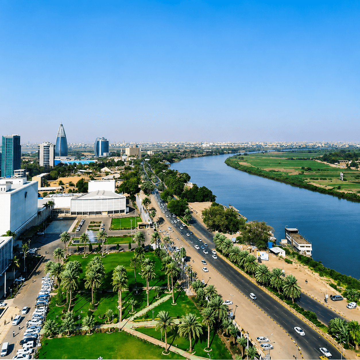
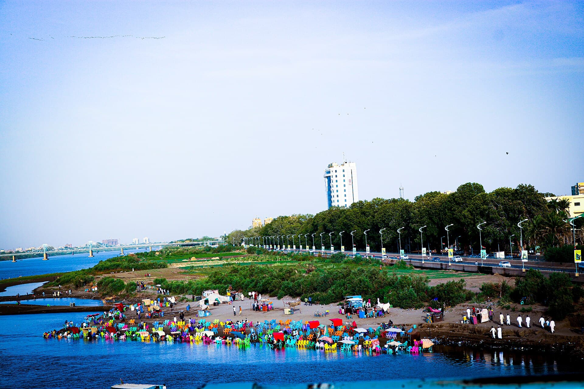
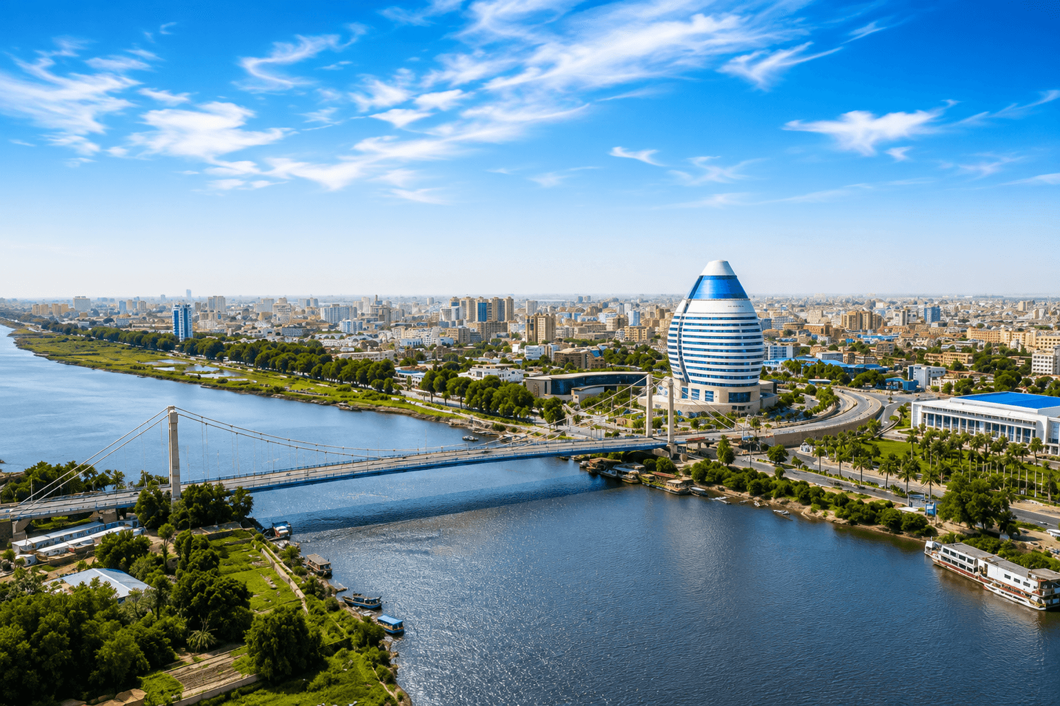
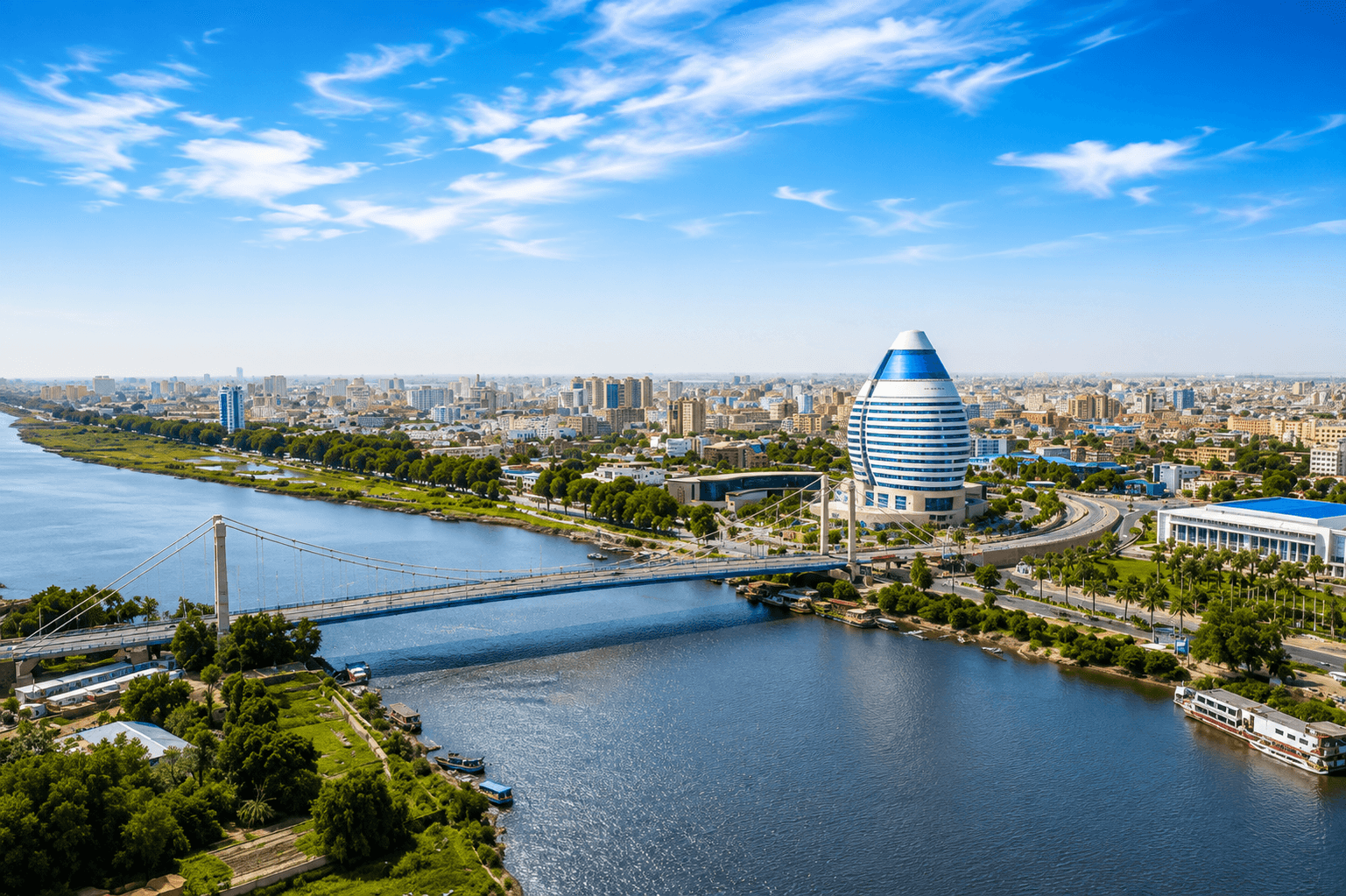
Modern Khartoum grew up precisely at this junction, its skyline rising along both riverbanks where the twin currents meet. The confluence remains one of Sudan's most recognisable natural landmarks, and one best appreciated from the air: a place where geography itself tells the story of a continent's great river system converging into a single, unified flow.